

Construction monitoring 3D tours have turned from an expensive option into a standard of work for large developers and general contractors. The customer, technical supervision and designer gain access to the object through a browser - without going to the site. Regular filming every 1–4 weeks creates a chronology of construction with each element linked to coordinates and date. Below we look at why this format pays for itself already in the second month of operation.
Why does a construction site need a 3D tour?
Construction control through 3D tours solves five key tasks for developers and contractors:
- Savings on travel – up to 60%. One air flight for technical supervision to the region costs 40–80 thousand rubles. A virtual walk-through replaces 8-10 business trips per quarter.
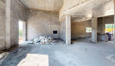
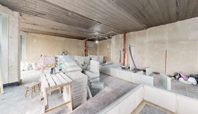
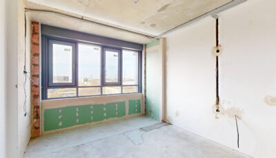
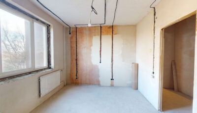
- Recording hidden work. Before closing the subfloor, routing communications and embedded parts, the survey maintains the exact position of each node. After 2 years, during repairs, the engineer sees the wire route in the wall in 5 seconds.
- Reduce disputes with the contractor by 70%. The shooting date is fixed in the metadata. If the scope of work is not completed, this is visible in the tour, and not in the controversial acts of KS-2.
- Measurements without visiting - error 1-2 cm. Matterport technology allows you to measure distances, areas and heights right in your browser. The architect specifies the dimensions of the room without requesting the BTI.
- Sales at the pit stage - conversion + 25%. The buyer sees the actual progress of construction, not a rendering. Confidence in the developer is growing, and there are fewer refusals after making a reservation.
How does this work in practice?
The construction monitoring process with 3D tours takes place in three stages and does not require stopping work on site.
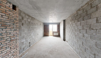
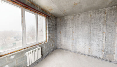
1. Filming. The operator comes to the site with a Matterport Pro3 camera or an equivalent. The crawl speed is about 200–400 m² per hour. An object of 5000 m² is rented in 1.5–2 working days. The camera records points in increments of 1.5–2.5 m, makes a 360° panorama at each point and shoots a LiDAR cloud of points.
2. Processing. Within 12-48 hours, the server assembles the data into a clickable 3D tour: first-person view, dollhouse mode (a model of the building as a whole), floor plan with markup. Tags are attached to each point — comments from the foreman, photos of defects, links to project documentation.
3. Delivery to the customer. 360° Space provides three options for placing the tour: 360° Space cloud with high-speed servers and technical support; the customer's server for developers with requirements for protecting trade secrets; an offline version for PC or VR headset, working without the internet — convenient for presentations to investors and checks on the construction site without connection.
The customer chooses the shooting frequency: at an active stage — once every 1-2 weeks, during finishing work — once a month. The tour archive forms the object's timeline: switching between dates shows progress for any period.
How much does construction monitoring with 3D tours cost?
The price depends on the area, shooting frequency, and complexity of the object. Approximate ranges for construction objects:
- One-time shooting up to 1,000 m² — from 25,000 ₽. Suitable for fixing hidden work or accepting a stage.
- Object 1,000–5,000 m² — 40,000–90,000 ₽ for shooting. Tour readiness terms — 2-3 days.
- Object 5,000–20,000 m² — from 100,000 ₽. Often we work under a subscription agreement with regular shooting.
- Regular monitoring (every 2 weeks) — a package from 60,000 ₽/month, including archive storage and technical support.
- Large residential complexes and industrial facilities from 30,000 m² — the cost is calculated individually, it is possible to work with several teams in parallel.
The payback for the developer comes on the 2-3 month: one cancelled business trip of the project team or one won dispute with the contractor covers the quarterly package of shooting. Accurate calculation for your object — in on the website calculator.
Frequently asked questions
Is it possible to shoot an object at the excavation and zero cycle stage?
Yes. Shooting is carried out from the moment of site marking. At early stages, external panoramic shooting with GPS binding is used, and with the appearance of walls — internal bypass with a Matterport camera.
What if there is no internet on site?
The camera works autonomously — data is written to the built-in storage. Upload to the server occurs later, when the operator returns to the office. Also, 360° Space can install an offline version of the tour on the customer's PC — without a network connection.
Who gets access to the tour and how are the data protected?
Access is granted based on an email list with permission restrictions. For secret objects, the tour is deployed on the customer's server — data does not leave the company's perimeter. Integration with corporate SSO is supported.
Can 3D tours be used for measurement work?
Yes. The accuracy of measurements in Matterport tours is 1–2 cm at a distance of up to 10 m. This is sufficient for checking the geometry of rooms, controlling the thickness of the screed, and calculating the volume of finishing materials.
Order a 3D tour for your property
Leave your contact — we'll respond within 30 minutes and calculate the cost