
360° aerial photography has become one of the most effective tools for showcasing sites and residential developments in the context of their surroundings. Professional aerial photography produces detailed panoramas that allow potential buyers or tenants to assess a property's location, infrastructure and transport connections. In this article, we explore the features of 360° aerial photography and its benefits for builders and property developers.
What is 360° aerial photography?
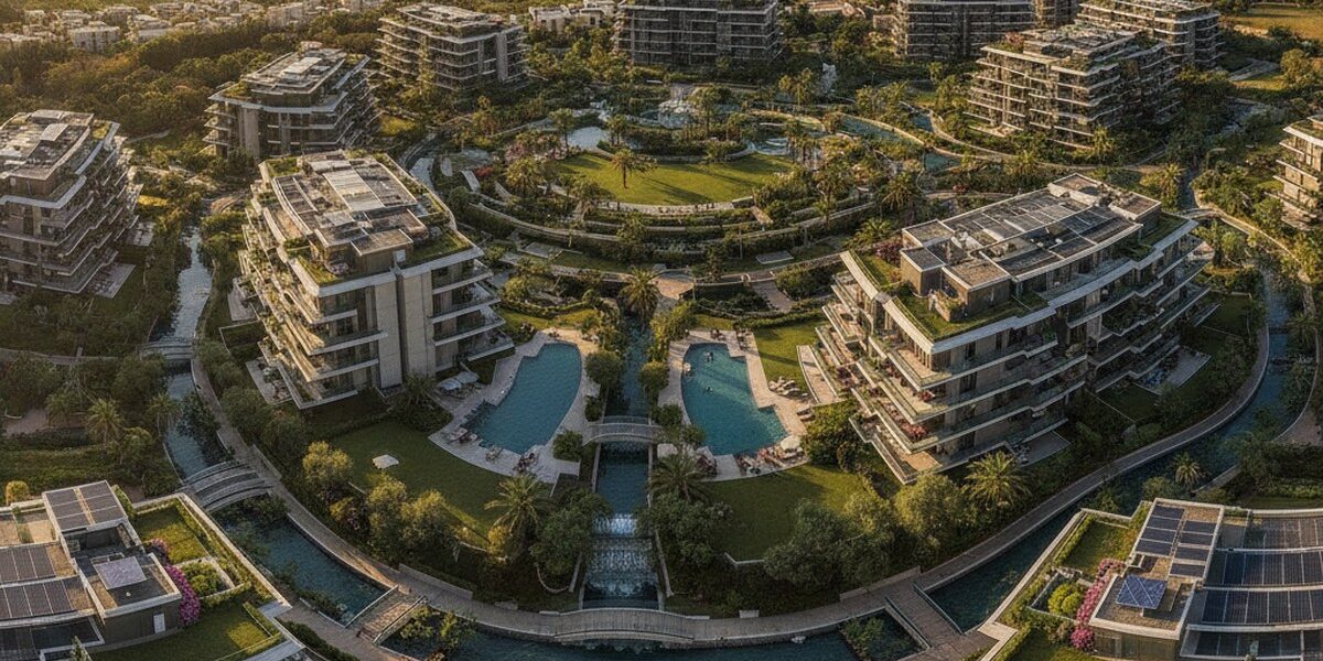
360° aerial photography captures images from the air to create detailed panoramas of properties and sites. It uses specialist cameras and unmanned aerial vehicles (UAVs) equipped with high-quality lenses and sensors.
360° aerial photography produces interactive panoramas that can be viewed on a computer, smartphone or tablet. These panoramas allow users to explore a property or site from different angles and assess its location and surroundings.
Benefits of 360° aerial photography for builders and property developers
360° aerial photography offers several benefits for builders and property developers. First, it allows potential buyers or tenants to assess a property or site without visiting in person.
Second, 360° aerial photography helps build confidence in a property or site, as potential buyers or tenants can assess its location, infrastructure and transport connections for themselves.
Third, 360° aerial photography can be used to showcase properties or sites at different stages of construction or renovation, helping builders and developers attract potential buyers or tenants at an early stage.
360° Aerial Photography for Residential Developments
360° aerial photography is particularly valuable for residential developments, as it allows potential buyers or tenants to assess the location, amenities and transport links.
For residential developments, 360° aerial photography can showcase the following:
- The location of the residential development in relation to nearby amenities (schools, nurseries, shops, transport hubs, etc.)
- Amenities within the residential development (parking, playgrounds, sports facilities, etc.)
- Transport links to the residential development (nearest public transport stops, distance to city centres, etc.)
How can I arrange 360° aerial photography?
You can arrange 360° aerial photography through professional companies specialising in aerial photography and interactive panorama production.
When choosing a company, consider the following factors:
- The company's experience and expertise in aerial photography
- The quality of the equipment and technology the company uses
- Service pricing and project turnaround times
Conclusion
360° aerial photography is an effective way to showcase sites and residential developments in their surroundings. It allows prospective buyers or tenants to assess a property or site without visiting in person, builds confidence in what they see, and can showcase properties or sites at different stages of construction or redevelopment.


If you are interested in arranging 360° aerial photography for your property or site, we recommend contacting professional companies specialising in aerial photography and interactive panorama production. For more information and to calculate the price of these services, please use the following links: